Log in
All resources
Create a design
35,690 Free Images of Round Maps
maps in the library of congress
carte de france
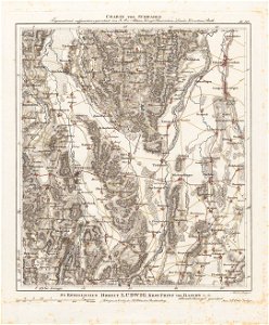
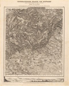
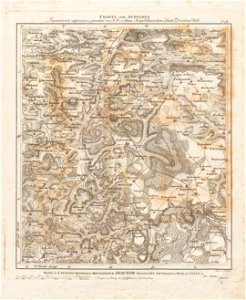
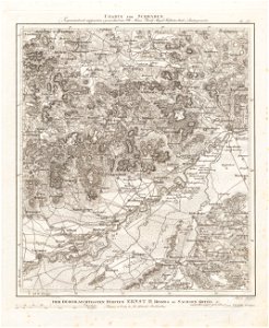
charte von schwaben (bohnenberger)
old maps of florence
cento vedute di firenze antica
19th-century maps of bavaria
geographical illustrations by coronelli
old maps of the peloponnese
atlante veneto (raremaps.com) volume 2
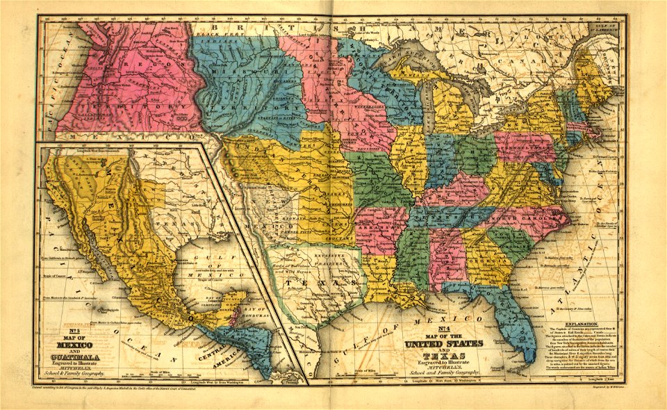
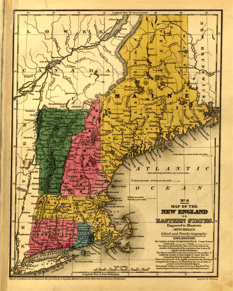
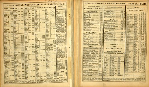
mitchell's school atlas
maps in the stadsarchief amsterdam
claes jansz. visscher (ii)
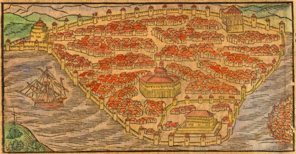
istanbul in the 16th century
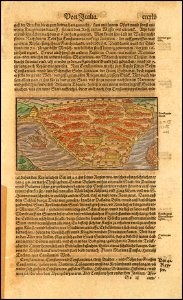
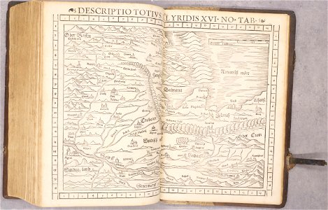
maps by sebastian münster
istanbul in the 16th century
maps by sebastian münster
description des principales villes (1690)
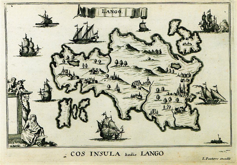
old maps of kos
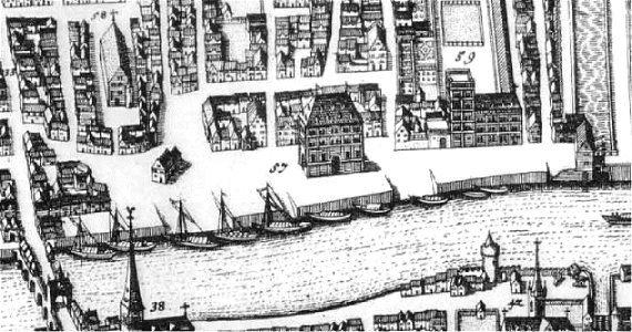
maps of amsterdam by cornelis anthonisz.
paintings of amsterdam
17th-century copper engravings
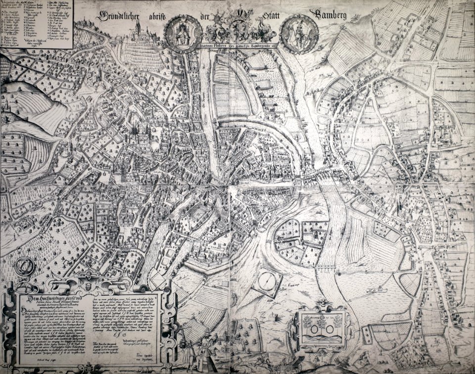
historisches museum bamberg
atlante veneto (raremaps.com) volume 2
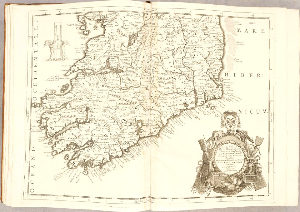
old maps of ireland
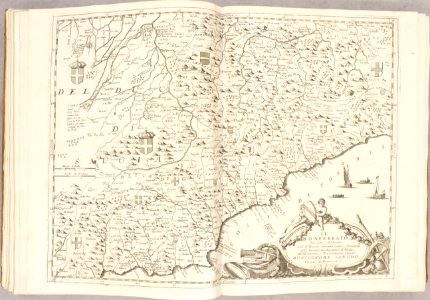
atlante veneto (raremaps.com) volume 2
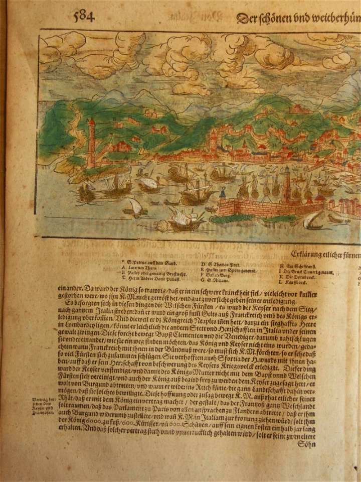
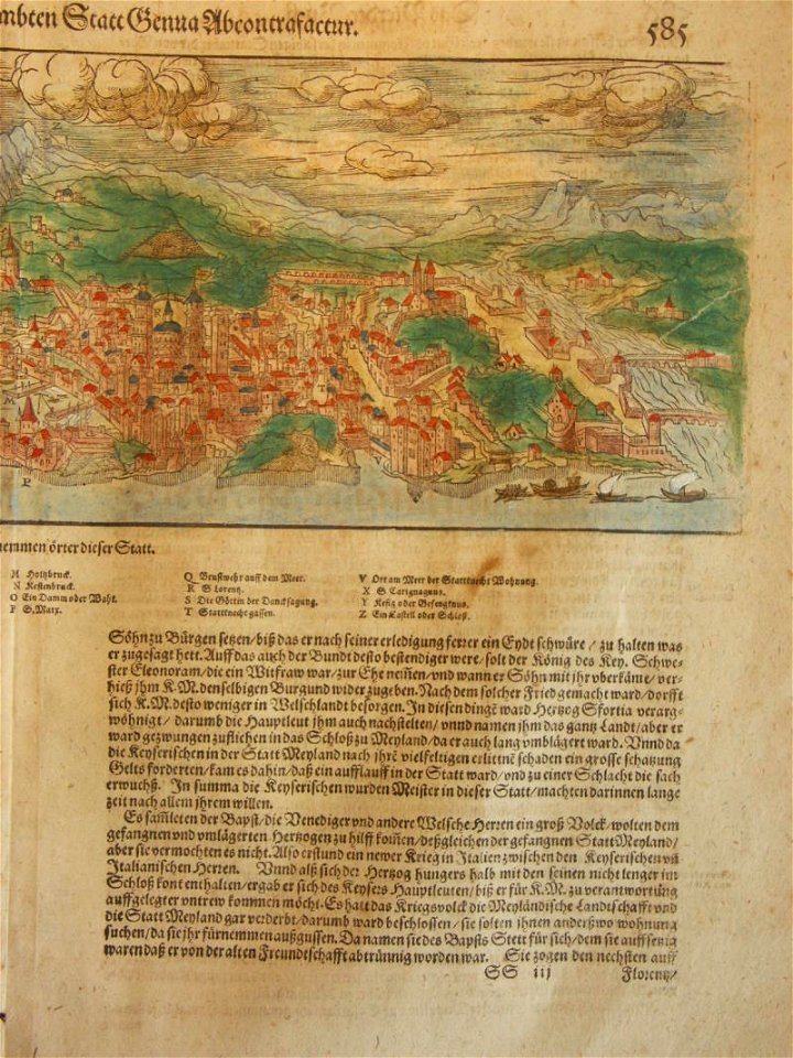
1690s maps of liguria
atlante veneto (raremaps.com) volume 1
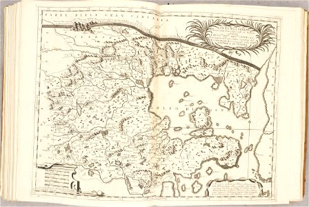
1690s maps of asia
atlante veneto (raremaps.com) volume 1
1690s maps of africa
atlante veneto (raremaps.com) volume 2
old maps of china
atlante veneto (raremaps.com) volume 2
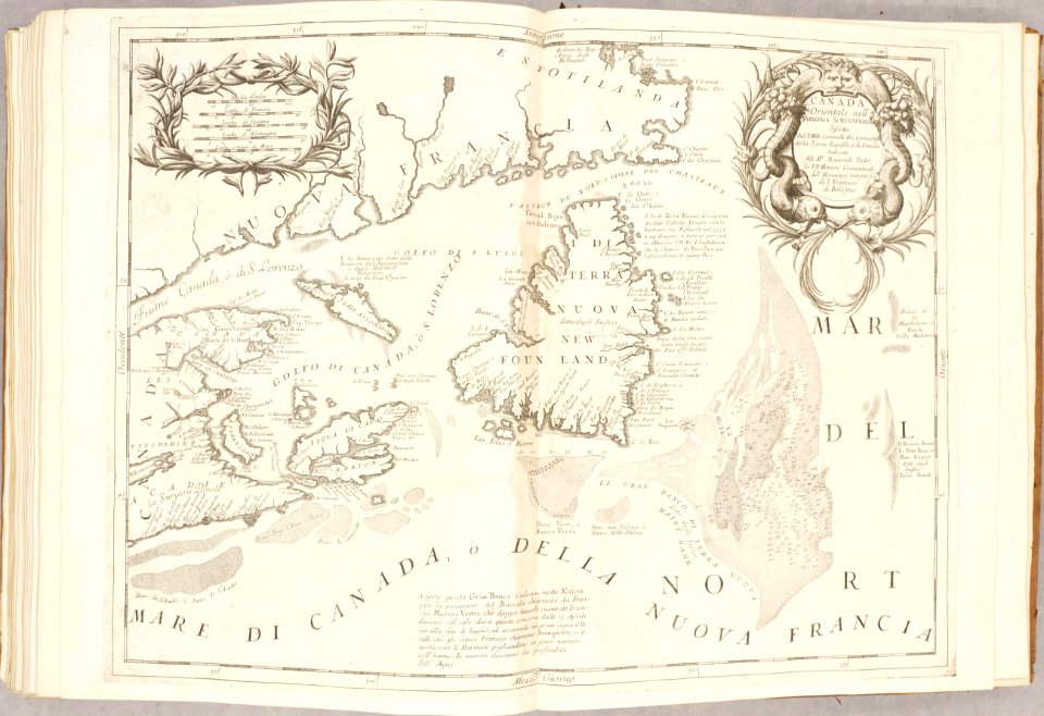
old maps of canada
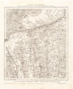
charte von schwaben (bohnenberger)
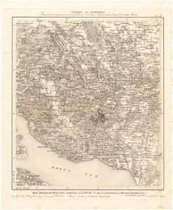
19th-century maps of bavaria
charte von schwaben (bohnenberger)
old maps of bas-rhin
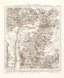
charte von schwaben (bohnenberger)
19th-century maps of bavaria
charte von schwaben (bohnenberger)
19th-century maps of bavaria
charte von schwaben (bohnenberger)
19th-century maps of bavaria
charte von schwaben (bohnenberger)
old maps of lake constance
charte von schwaben (bohnenberger)
old maps of bas-rhin
charte von schwaben (bohnenberger)
19th-century maps of bavaria
charte von schwaben (bohnenberger)
19th-century maps of bavaria
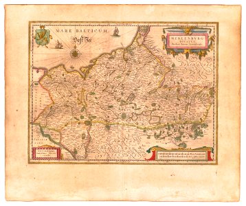
old maps of mecklenburg
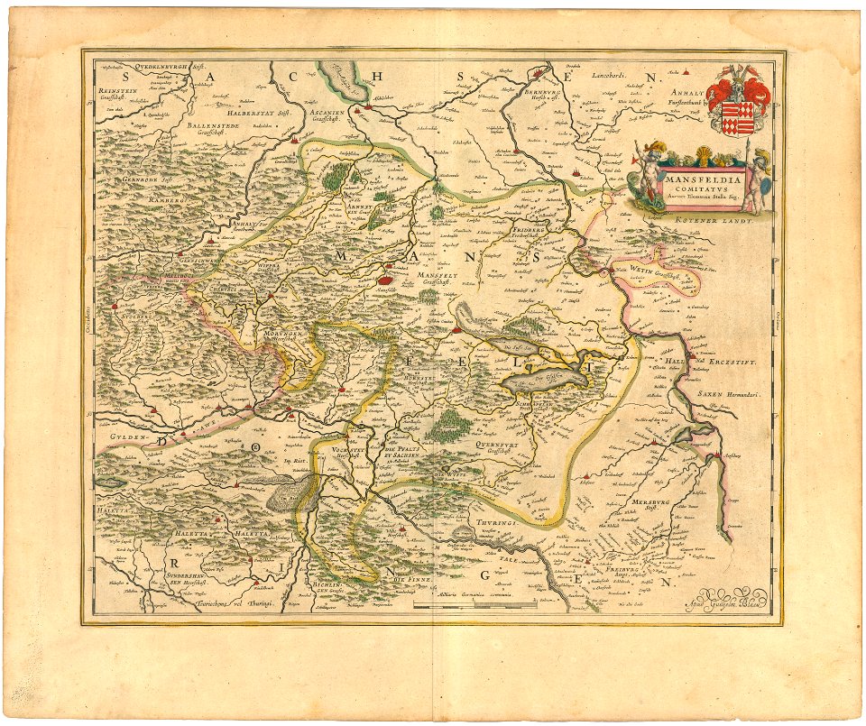
atlas novus (blaeu)
history of mansfeld land
1645 maps
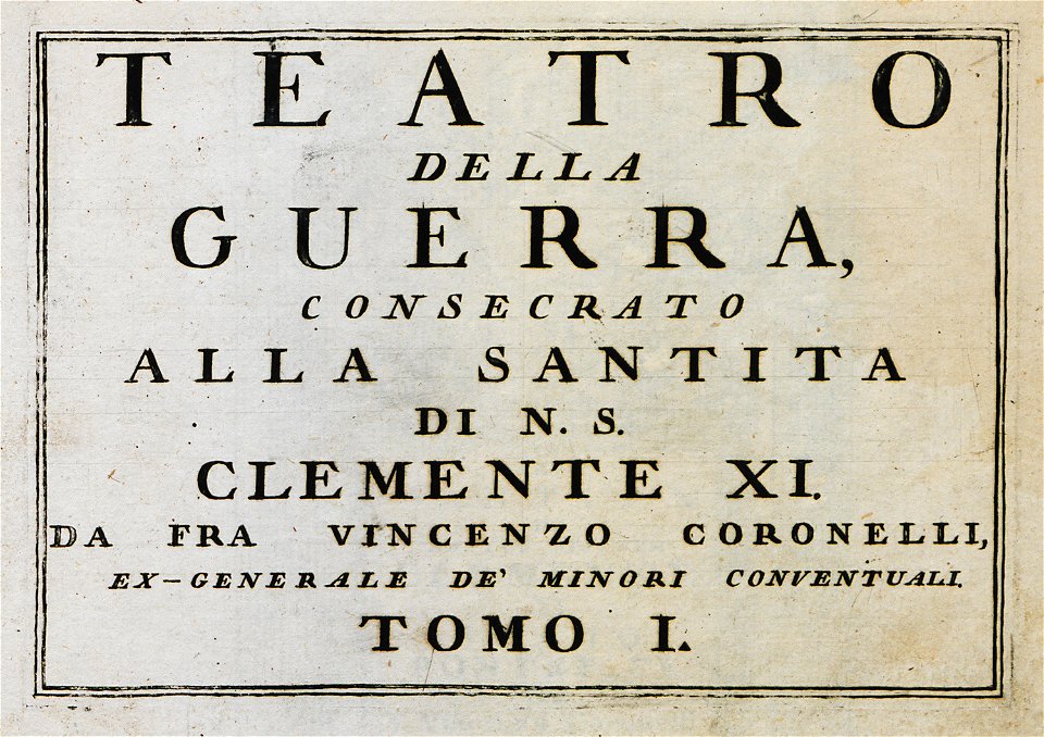
geographical illustrations by coronelli
old maps of the peloponnese
geographical illustrations by coronelli
old maps of the peloponnese
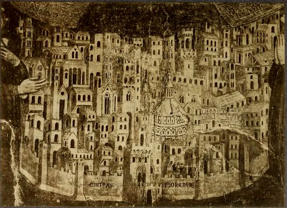
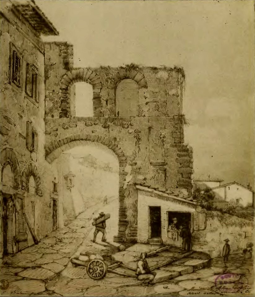
cento vedute di firenze antica
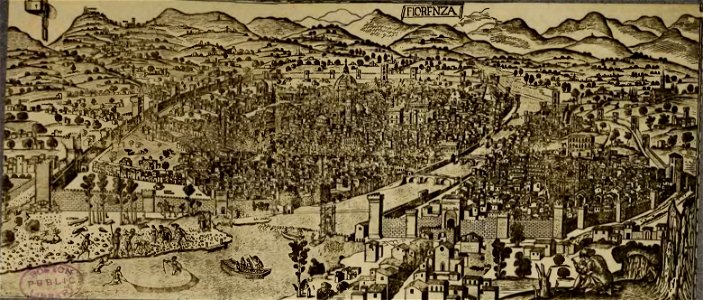
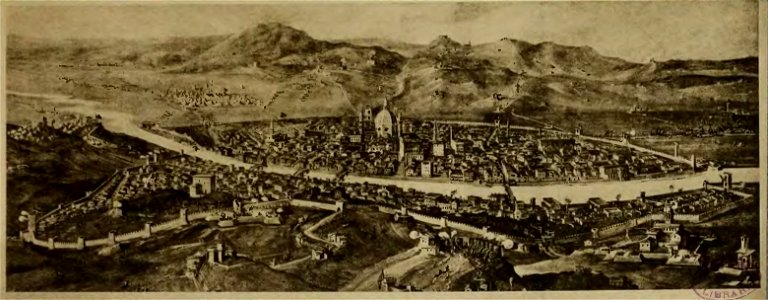
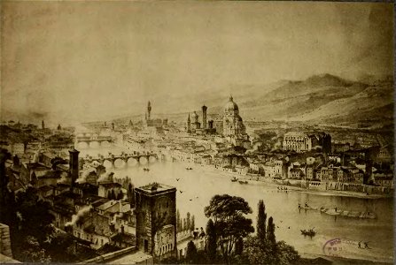
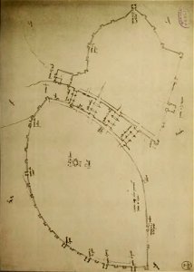
old maps of florence
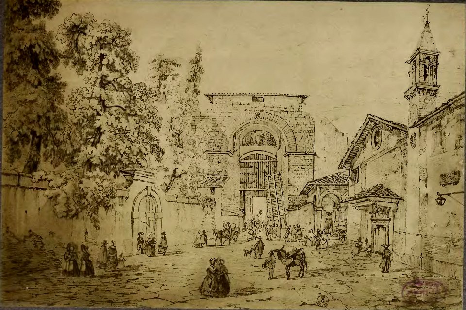
cento vedute di firenze antica
old maps of florence
cento vedute di firenze antica
old maps of florence
cento vedute di firenze antica
old maps of florence
cento vedute di firenze antica
old maps of florence
cento vedute di firenze antica
old maps of florence
cento vedute di firenze antica
old maps of florence
liber insularum archipelagi (royal museums greenwich)
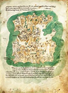
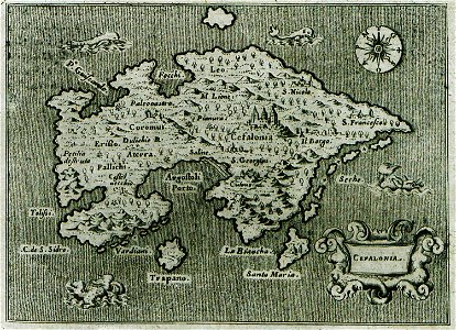
maps of kefalonia
l'isole più famose del mondo
historical maps of kefalonia
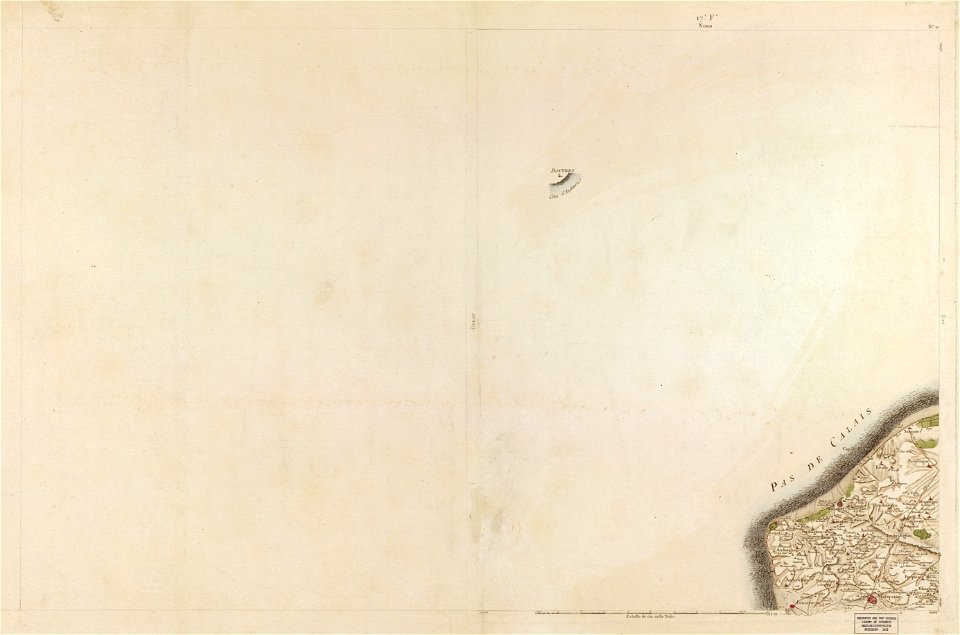
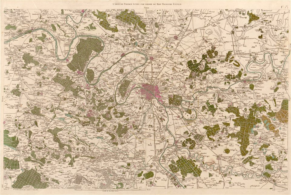
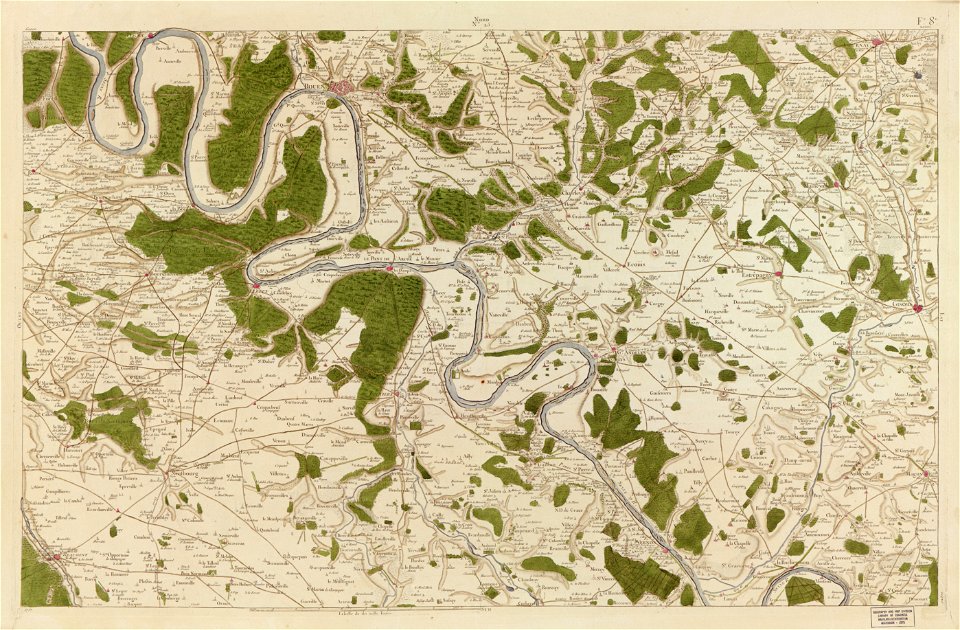
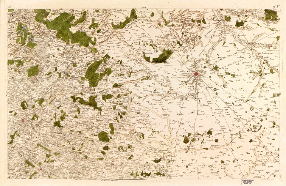
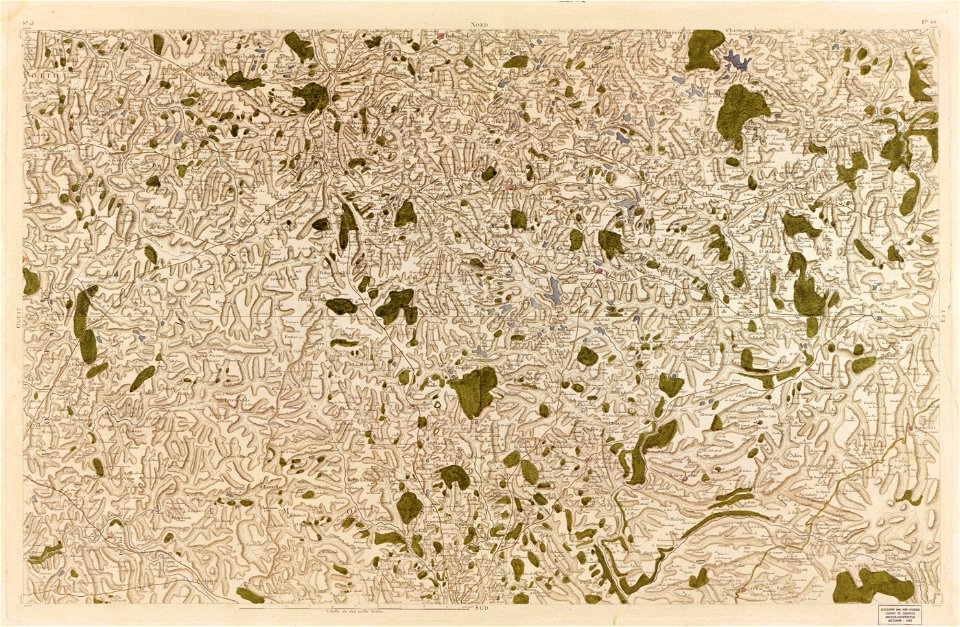
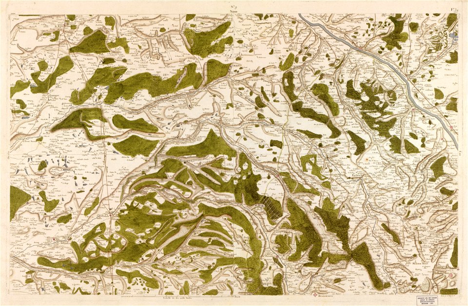
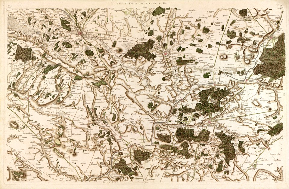
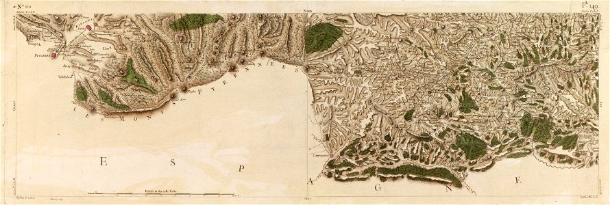
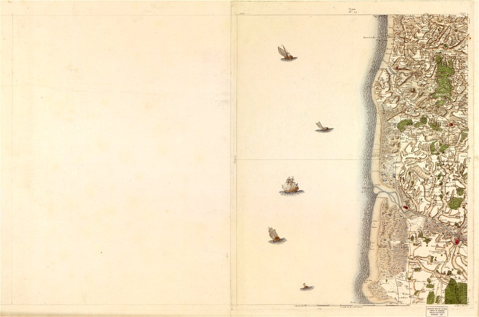
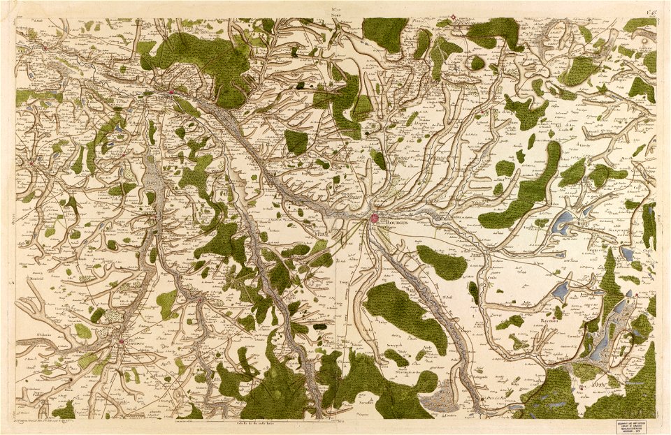
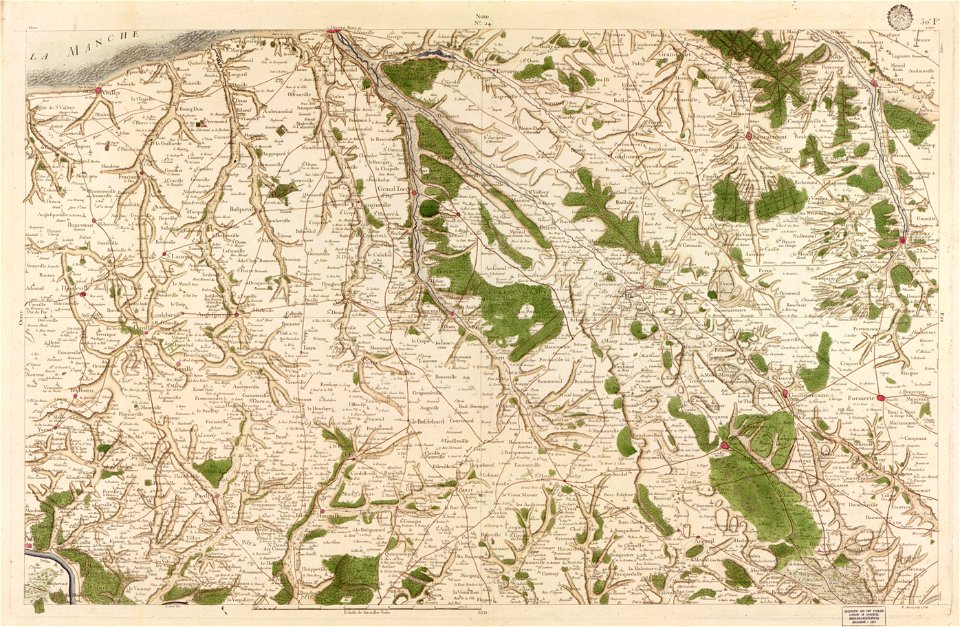
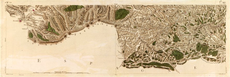
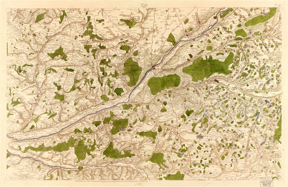
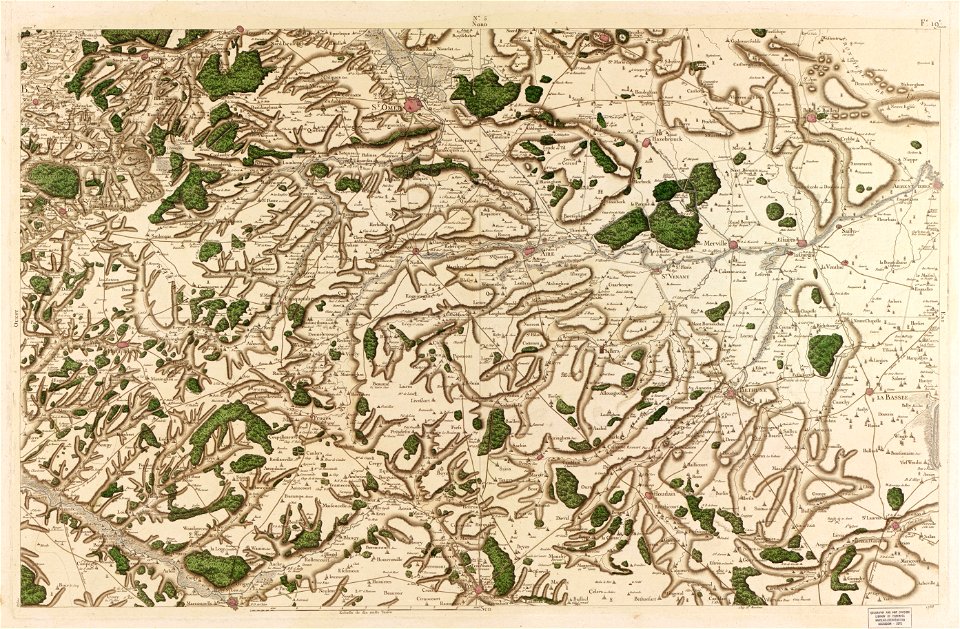
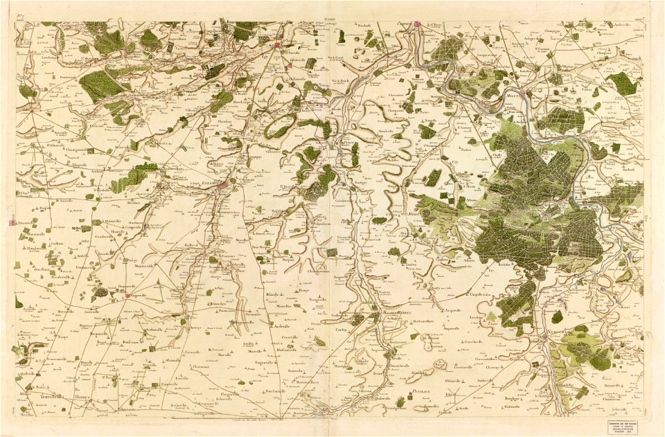
maps in the library of congress
carte de france
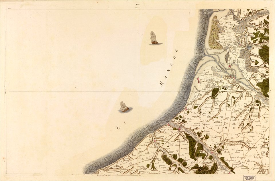
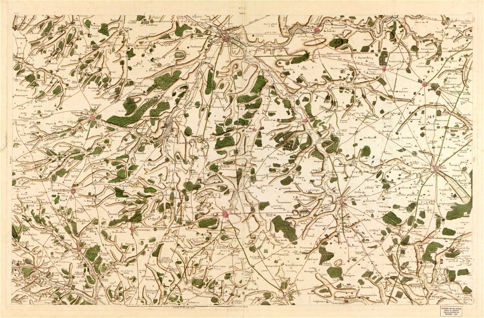
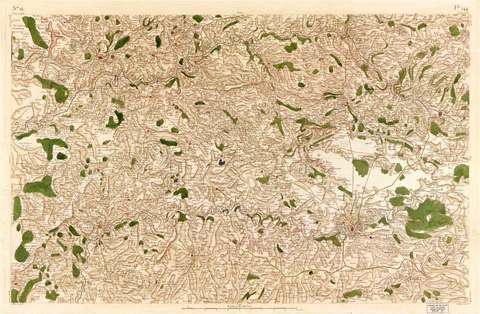
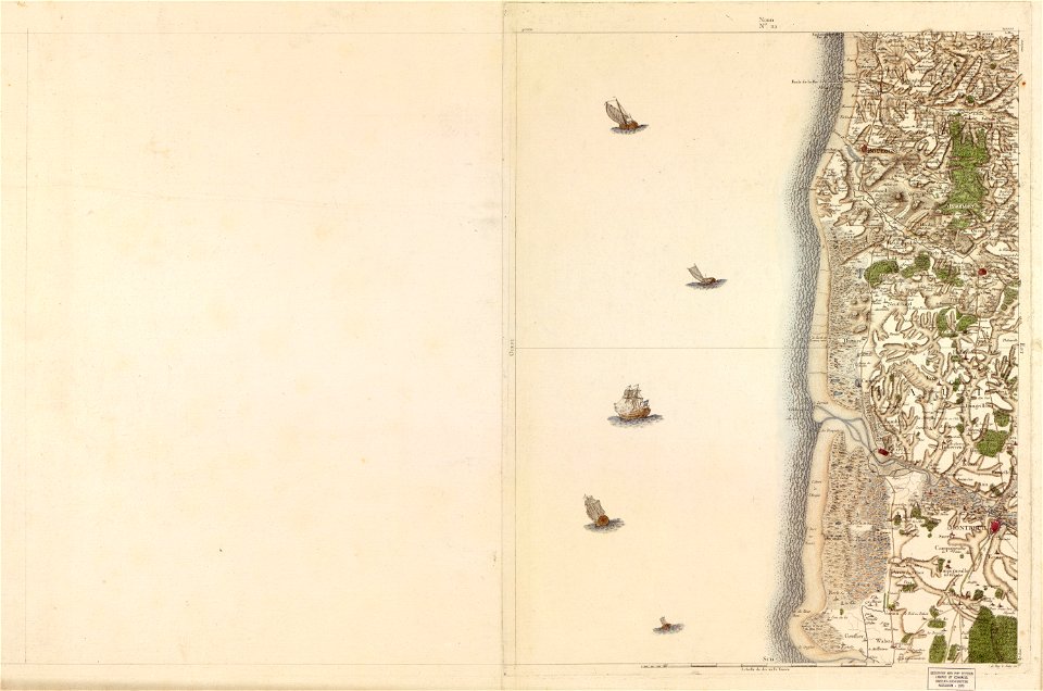
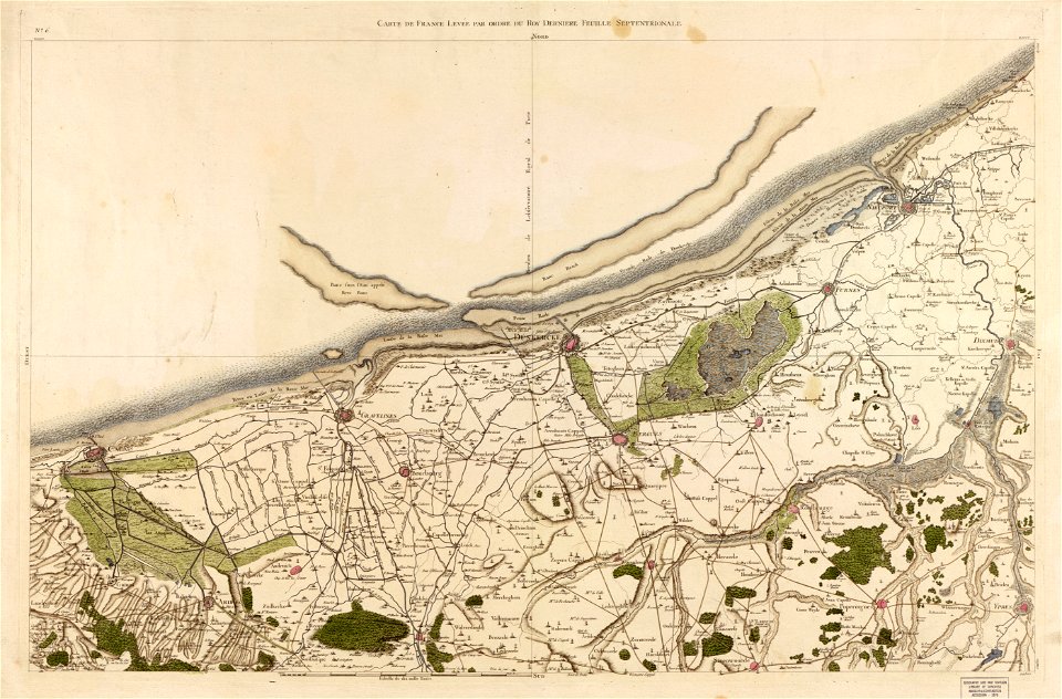
maps in the library of congress
carte de france
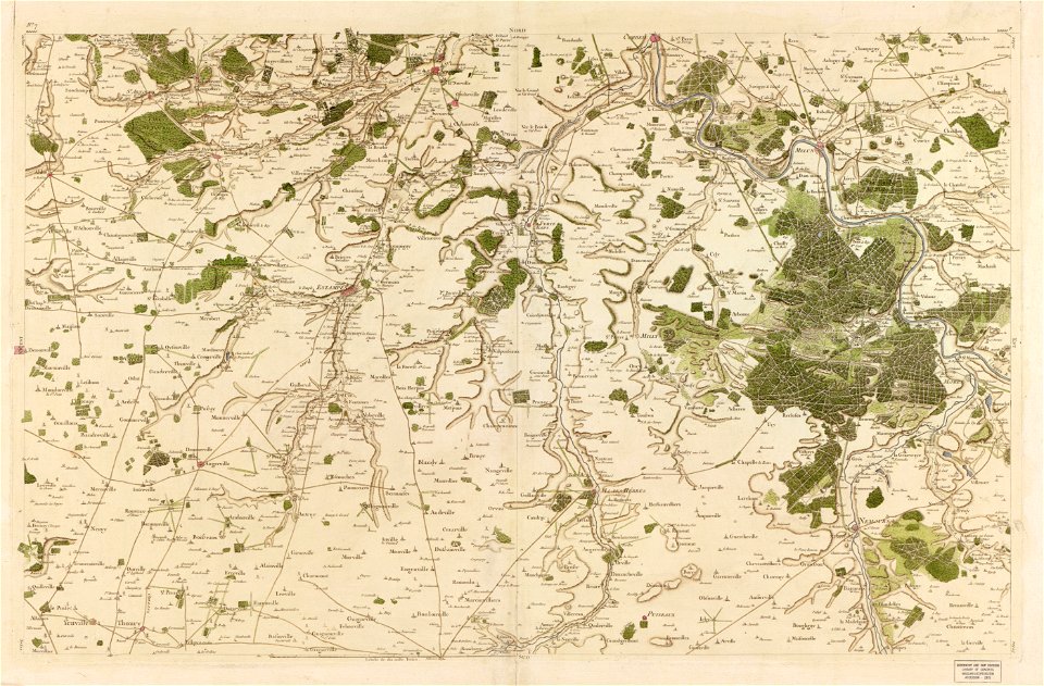
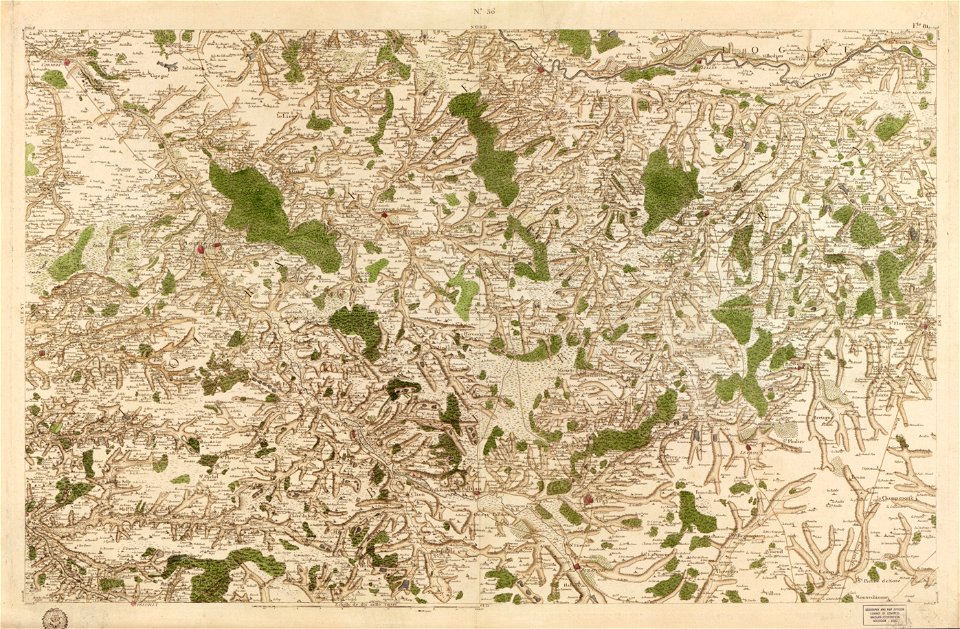
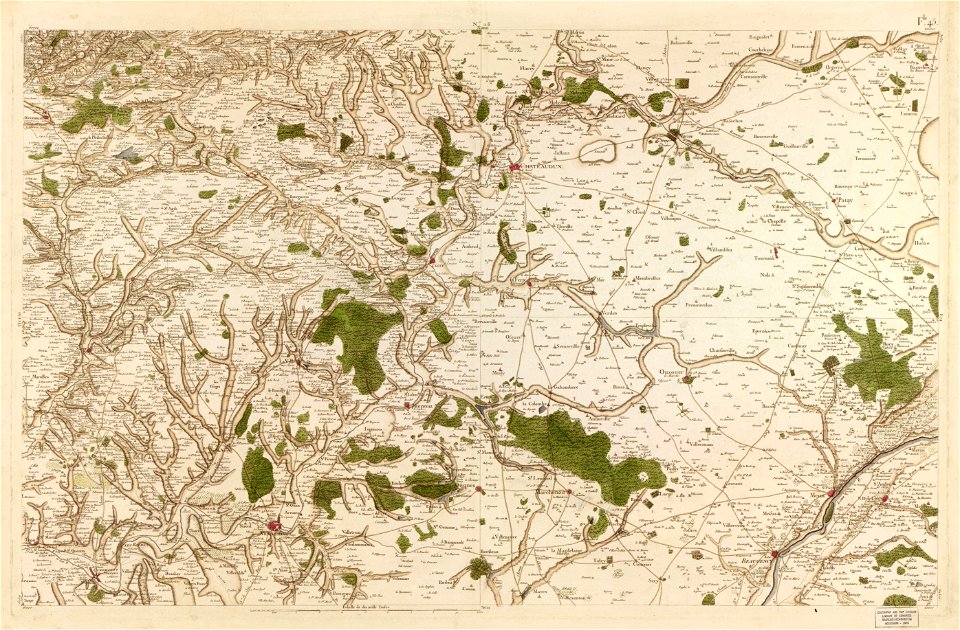
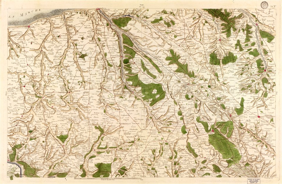
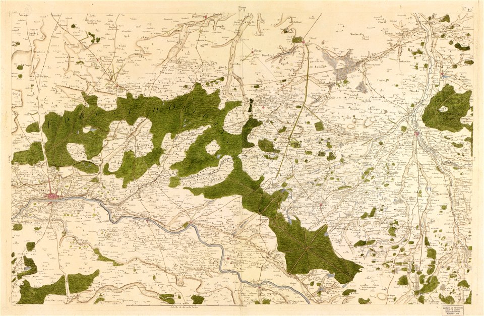
maps in the library of congress
carte de france
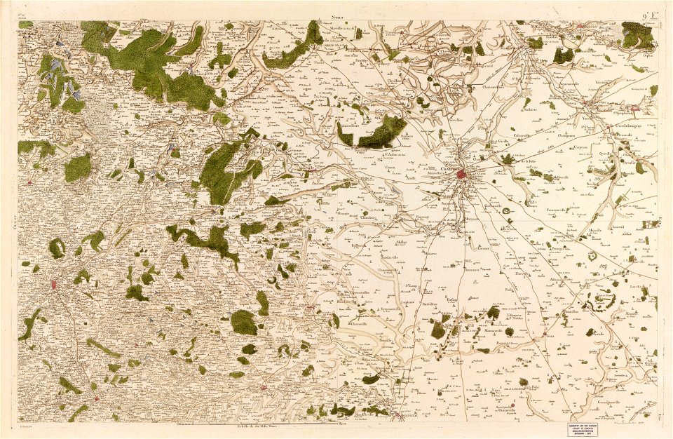
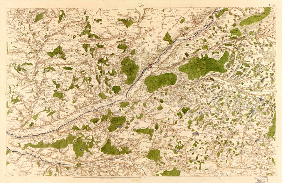
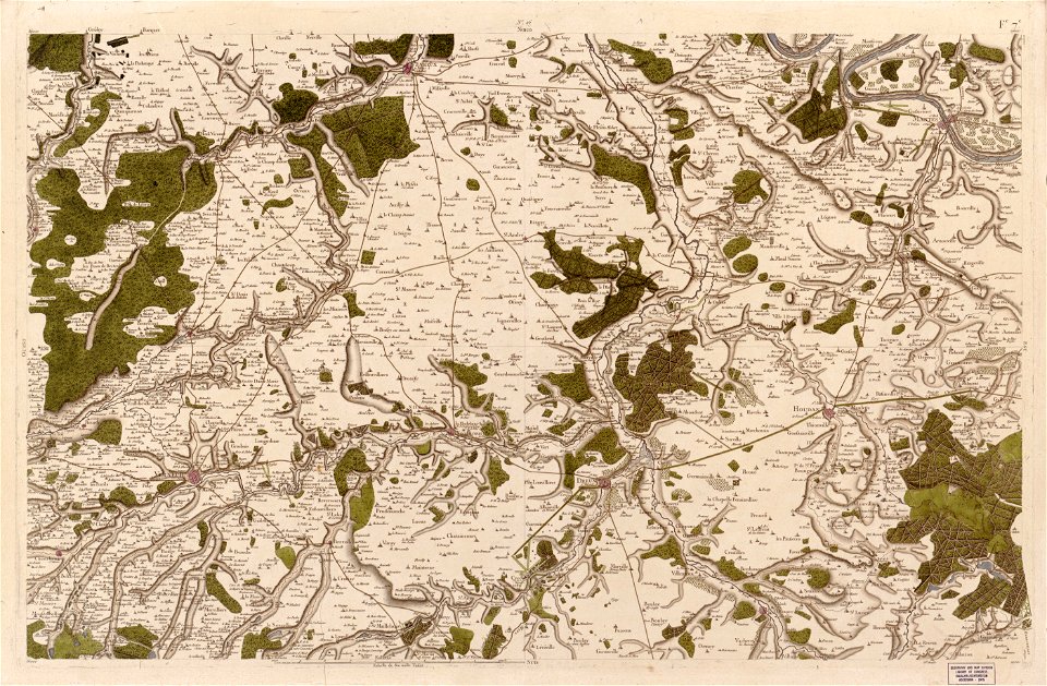
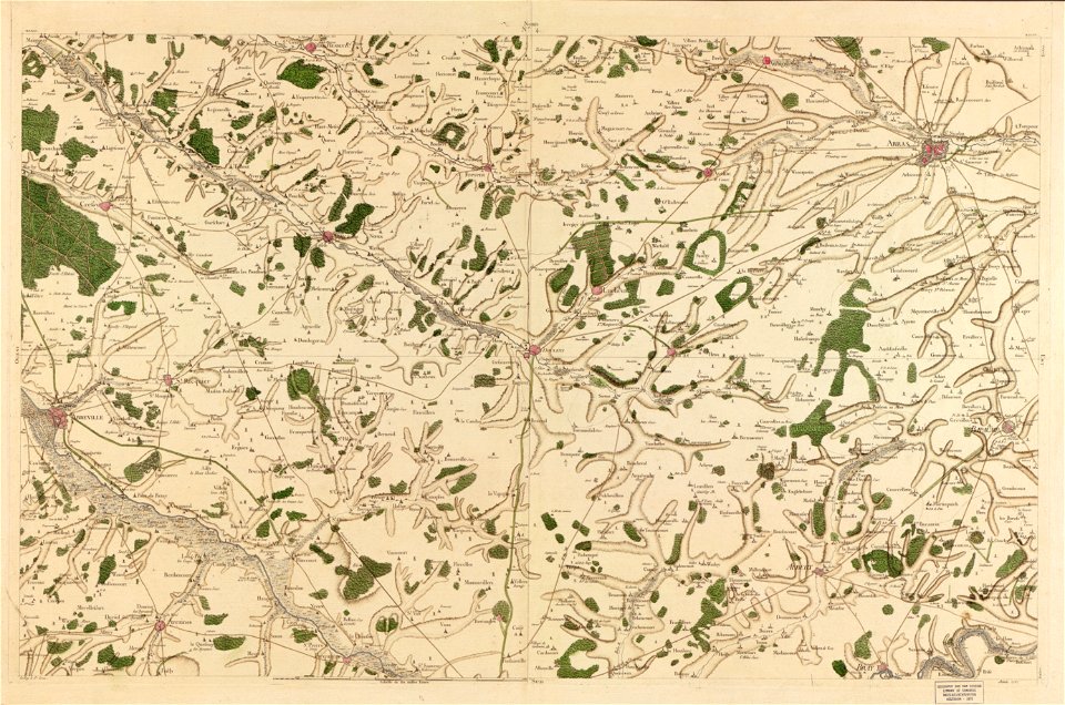
maps in the library of congress
carte de france
maps in the library of congress
carte de france
maps in the library of congress
carte de france
maps in the library of congress
carte de france
maps in the library of congress
carte de france
maps in the library of congress
carte de france
maps in the library of congress
carte de france
maps in the library of congress
carte de france
maps in the library of congress
carte de france
maps in the library of congress
carte de france
maps in the library of congress
carte de france
maps in the library of congress
carte de france
maps in the library of congress
carte de france
maps in the library of congress
carte de france
maps in the library of congress
carte de france
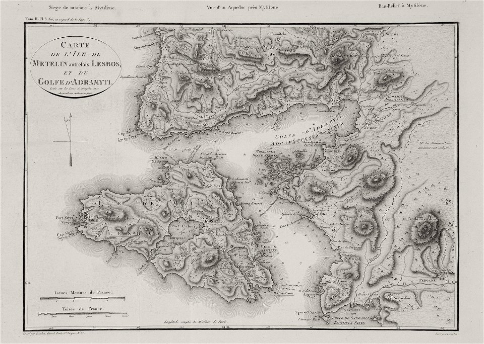
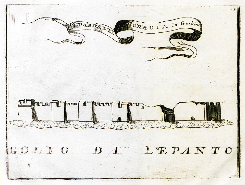
voyage pittoresque de la grèce
maps of lesbos
maps in the library of congress
carte de france
maps in the library of congress
carte de france
maps in the library of congress
carte de france
maps in the library of congress
carte de france
maps in the library of congress
carte de france
maps in the library of congress
carte de france
maps in the library of congress
carte de france
maps in the library of congress
carte de france
maps in the library of congress
carte de france
voyage pittoresque de la grèce
lemnos
maps in the library of congress
carte de france
maps in the library of congress
carte de france
maps in the library of congress
carte de france
maps in the library of congress
carte de france
maps in the library of congress
carte de france
maps in the library of congress
carte de france
maps in the library of congress
carte de france
maps in the library of congress
carte de france
maps in the library of congress
carte de france
maps in the library of congress
carte de france
maps in the library of congress
carte de france
maps in the library of congress
carte de france
maps in the library of congress
carte de france
maps in the library of congress
carte de france
maps in the library of congress
carte de france
maps in the library of congress
carte de france
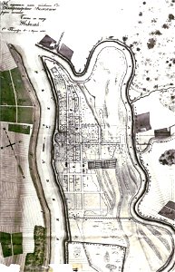
old maps of belarus
daugava
old maps of belarus
daugava
old maps of belarus
daugava
maps of dalmatia
1552
cosmographia (1600) by sebastian münster
old maps of florence
cosmographia (1600) by sebastian münster
old maps of florence
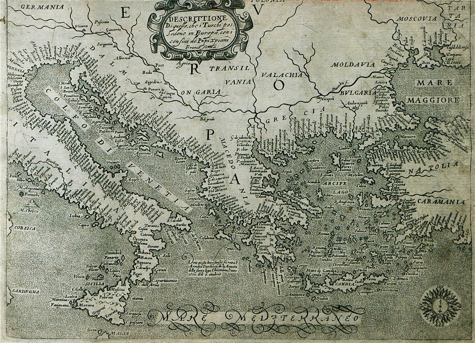
16th-century maps of the ottoman empire
giuseppe rosaccio
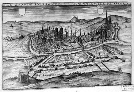
bibliothèque municipale de reims
chgg 16
bibliothèque municipale de reims
maps of reims
bisset's magnificent guide (1808 edition)
old maps of birmingham
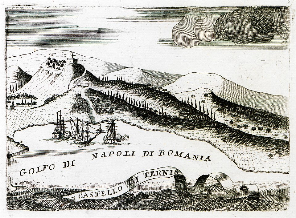
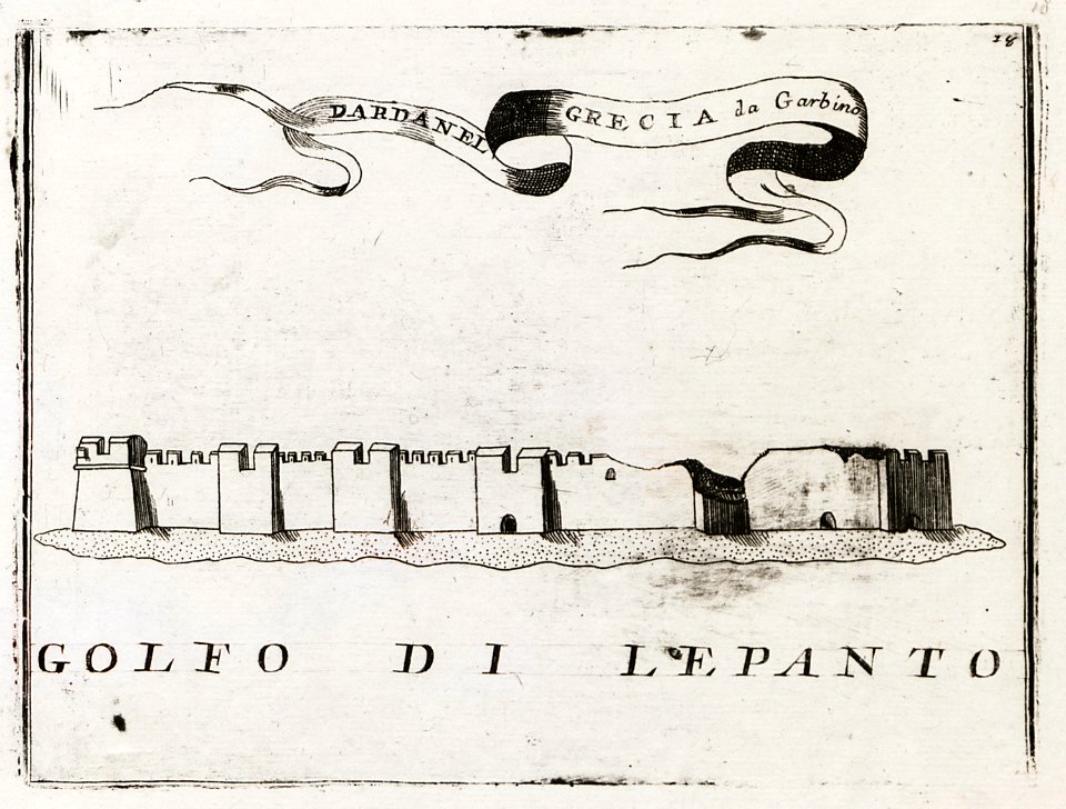
geographical illustrations by coronelli
old maps of the peloponnese
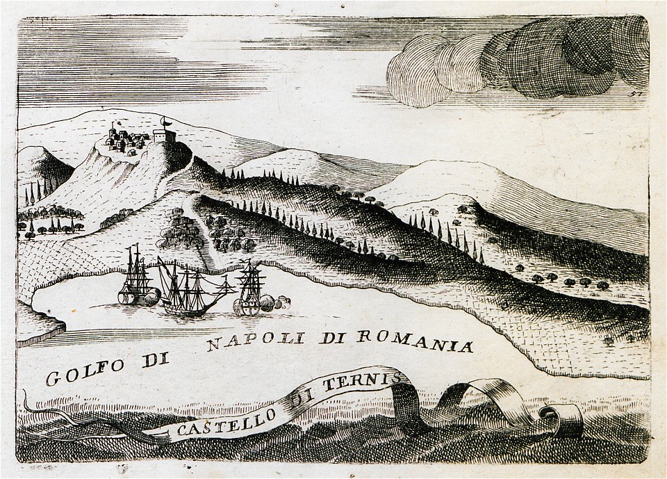
geographical illustrations by coronelli
old maps of the peloponnese
geographical illustrations by coronelli
old maps of the peloponnese
geographical illustrations by coronelli
old maps of the peloponnese
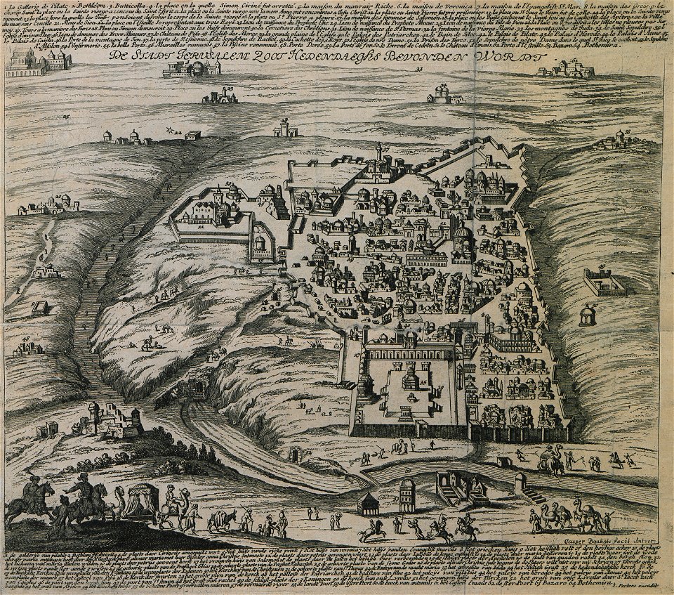
description des principales villes (1690)
old maps of jerusalem
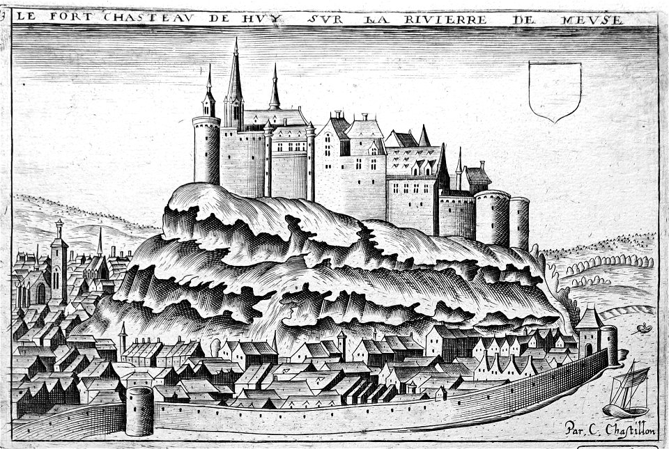
maps of liège in the 17th century
la batte
19th-century maps of stockholm
street lights in stockholm
maps in the library of congress
mitchell's school atlas
maps in the library of congress
mitchell's school atlas
maps in the library of congress
mitchell's school atlas
maps in the library of congress
mitchell's school atlas
7501 - 7600 of 35,690
Next page
/ 357